
Keynote speakers
| Keynote Title |
|---|
|
Geometry and Semantics for Dynamic 3D Reconstruction Prof. Christian Heipke |
|
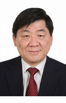
China's National 3D Mapping Program and Applications Prof. Jun Chen |
|
Trends on the Use of Mobile Mapping Systems and Geoinformation from the Perspective of A NMCA Prof. Nicolas Paparoditis |
|
The Invisible Engine: How Inertial Navigation Drives Mobile Mapping and Autonomous Navigation Prof. Naser El-Sheimy |
|
Mobile Mapping Technology for 3D City Mapping Prof. WenZhong Shi |
|
Mobile Mapping Technology: Recent Developments in the Georeferencing Component Prof. Charles Toth |
|
Autonomous Mapping of Unexplorative Space Prof. Bisheng Yang |
|
Precision LiDAR Technologies and Its Progress in China Prof. Qingzhou Mao |

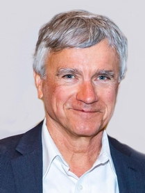
Christian Heipke is a professor of photogrammetry and remote sensing at Leibniz Universität Hannover, where he currently leads a group of about 25 researchers. His professional interests comprise all aspects of photogrammetry, remote sensing, image understanding and their connection to computer vision and GIS. His has authored or co-authored close to 500 scientific papers, more than 100 of which appeared in peer-reviewed international journals. He also supervised more than 40 PhD candidates as main supervisor. From 2011-2014 he was chair of the German Geodetic Commission (DGK), since 2012 he serves on the Council of the International Society for Photogrammetry and Remote Sensing (ISPRS), from 2016-2022 as President. He is a member of different learnt societies. His work has been recognised various times, he is, e.g., the recipient of the 2012 ISPRS Fred Doyle Award and the 2013 ASPRS Photogrammetric (Fairchild) Award. In 2023 he was made an Honorary Fellow of the Indian Society of Remote Sensing. In the same year he received an honorary doctorate from the University of Stuttgart in Germany.

Chen Jun is the chief scientist of National Geomatics Center of China (NGCC). He graduated from Wuhan University and studied remote sensing in IGN, France, in the beginning of 1980s. He has led the development of the world’s first wall-to-wall 30-m global land cover data set (GlobeLand30), the continuous updating of national geospatial databases at 1:50,000 scales, and made significant contribution to geospatial information sciences through developing novel algorithms or value-added applications. He became a full professor in Wuhan University in 1992 and supervised more than 50 PhD students since then. He has served ISPRS for over 24 years, including Working group Chair (1996-2000), Technical commission president (2000-2004), Congress director (2004-2008), Secretary general (2008-2012), President (2012-2016) and First vice president (2016-2020). He received more than 20 international and national awards, such as the World Geospatial Innovation Award (2015), National Science Prizes (2004, 2014, 2017) and Asia Geospatial Lifetime Achievement Award (2017). He has elected as a member of Chinese Academy of Engineering in 2019.

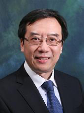
Professor Shi is currently Chair Professor in Geographic Information Science and Remote Sensing, and the Director of Smart Cities Research Institute, The Hong Kong Polytechnic University.
His research covers urban informatics for smart cities, geographic information science and remote sensing, AI-based object recognition and change detection from satellite imagery, intelligent analytics and quality control for spatial big data, and mobile mapping and 3-D modelling based on LiDAR and imagery. He has published over 300 research articles in journals indexed by Web of Science and 20 books. He is among the worldly top 2% (specifically, 0.27%) cited researchers. He has over 60 patents granted.
He earned his doctoral degree from Germany in 1994. He serves as President of International Society for Urban Informatics and Editor-in-Chief of Urban Informatics. He is Academician of International Eurasian Academy of Sciences, Fellow of Academy of Social Sciences (UK) and Fellow of Chinese Society for Geodesy, Photogrammetry, and Cartography.
Professor Shi has won State Natural Science Award, China’s highest award for fundamental science, in 2007; Founder’s Award by International Spatial Accuracy Research Association in 2020; and Gold Medal in 2021 & 2023 International Expos of Inventions of Geneva.

Nicolas Paparoditis is a senior research scientist and Professor, currently Director of Research and Higher Education at IGN. Nicolas Paparoditis is a specialist of photogrammetric computer vision based data collection systems especially for 3D collection and city modelling. He has supervised 20 Phds and has published over hundred and fifty papers in the field of remote sensing, photogrammetry, and spatial information sciences. Nicolas Paparoditis has been the XXIV ISPRS congress director in the period 2016-2022, a member of ISAC in the period 2012-2016, and the President of the ISPRS Commission III “Photogrammetric Computer Vision” in the period 2008-2012. He is a member of council of SFPT, the French Society of Photogrammery and Remote Sensing. Besides the XXIV ISPRS Congress, he organised several ISPRS worskshops, one ISPRS symposium, and chaired and organised the ISPRS Geospatial Week 2015 which was held in Montpellier, France. He is currently Vice-President of ISPRS for the period 2022-2026.

Dr. Naser El-Sheimy holds a Tier-I Canada Research Chair (CRC) in Geomatics Multi-sensor Systems. His research expertise includes Geomatics multi-sensor systems, GPS/INS integration, and mobile mapping systems. Dr. Naser El-Sheimy is a Killam Professor, a Fellow of the Canadian Academy of Engineering (FCAE), a Fellow of the Engineering Institute of Canada (FEIC), and Fellow of the US Institute of Navigation (ION). He is also the founder of Founder and Chairman of Micro Engineering Tech Inc (METI), a leading Canadian group in autonomous systems, HDmaps, and digital twins. Dr. El-Sheimy published two books, 6 book chapters and over 500 papers in academic journals, conference and workshop proceedings, in which he has received over 40 national and international paper awards. He supervised and graduated over 60 Masters and PhD students. He is the recipient of many national and international awards including the ASTech “Leadership in Alberta Technology” Award the Association of Professional Engineers, Geologists, and Geophysicists of Alberta (APEGGA) Educational Excellence Award. He also received the Schulich School of Engineering Research Excellence Award, the Schulich School of Engineering Teaching Excellence Award, The UofC Student Union Teaching Excellence Award, and 4 times the departmental teaching award, 2 times departmental research excellence award, and the department of Geomatics Engineering Graduate Educator Award. Dr. El-Sheimy was the president of Commission I on “Sensors and Platforms” of the International Society for Photogrammetry and Remote Sensing (ISPRS) from 2008 – 2012.

Dr. Toth is an ASPRS Fellow, a Fellow of the International Society of Photogrammetry and Remote Sensing (ISPRS), and a Fellow of the Institute of Navigation (ION). He received an Honorary Doctorate from the Budapest University of Technology and Economics and was the recipient of the ASPRS Photogrammetric Award (Fairchild) award. Toth's long record of service to ASPRS and ISPRS included stints as president of ASPRS and vice president of ISPRS as well as commission president, chair, and co-chair of various ISPRS working groups. Prof. Toth has published over 400 peer-reviewed journal and proceedings papers, numerous technical reports and six book chapters on photogrammetry, LiDAR, and navigation.

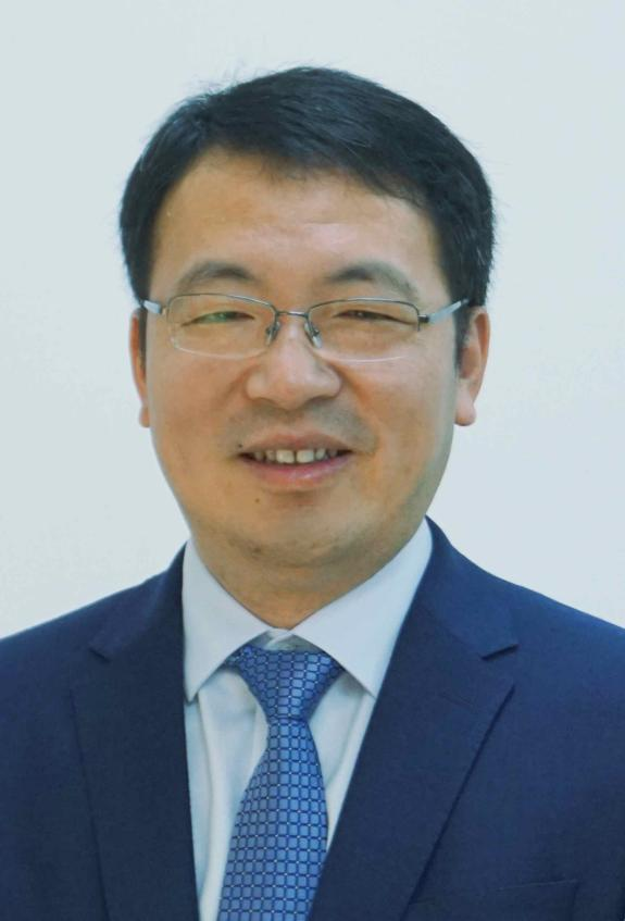
Prof. Bisheng Yang is a full Professor in GeoInformatics at Wuhan University, China, and director of State Key Laboratory of Information Engineering in Surveying, Mapping and Remote Sensing. He obtained his Ph.D degree in Photogrammetry and Remote Sensing in 2002 from Wuhan University. He holds Distinguished Young Scholars Professor. His research expertise include Lidar and UAV Photogrammetry, point cloud processing, and spatial intelligence. Dr. Yang has so far published more than 100 papers in peer-review journal articles, conference and workshop proceedings. He is Co-Chair of Point Cloud Processing Workgroup in Photogrammetry Commission of the International Society for Photogrammetry and Remote Sensing (ISPRS) from 2016-2026. He is Associate Editor of ISPRS Journal of Photogrammetry and Remote Sensing, and the recipient of a lot of national and international academic awards including Carl Pulfrich Award (2019).

Professor Mao's professional direction is remote sensing instruments and interdisciplinary research in optics, mechanics, electronics, and computing. Obtained more than 50 national invention patents and published over 60 scientific papers and 3 monographs. Professor Mao has presided over national major scientific instrument development projects, national natural science foundation projects, 863 projects, and multiple provincial and ministerial fund projects. Received 1 second prize for national technological invention from the Ministry of Science and Technology, and over 10 first prizes for other provincial and ministerial level scientific and technological awards. Application of research achievements of Professor Mao's team: the achievements of laser scanning measurement technology have been applied to 18 railway bureaus in China and more than 20 urban subways in Beijing, Wuhan, etc., serving the “the Belt and Road” China Pakistan Railway, Qinghai Tibet Railway, Beijing Zhangjiakou High speed Railway, Daxing Airport Metro, etc. Expand its application to the construction of the National Speed Skating Oval, helping to create the fastest ice for the 24th Beijing Winter.
| Deadline for Workshop proposal |
April 1, 2025 |
|---|---|
| Deadline for Full paper |
April 1, 2025 |
| Deadline for Abstracts |
April 1, 2025 |
| Notification of Acceptance |
May 1, 2025 |
| Deadline for Camera Ready |
May 20, 2025 |
| Deadline for Early Registration |
May 12, 2025 |